Haley and I took advantage of a nice, rain-free day this past Tuesday to go for a short hike on the Pigeon Roost Trail at
Hobbs State Park. The trail gets its name from the now extinct passenger pigeons that once roosted by the millions in the area. One interesting fact I learned after this hike was that the passenger pigeon was once the most abundant bird in the world. There were more passenger pigeons than all other species of bird IN THE WORLD! Crazy. Of course, we are to blame for their extinction. Massive market hunting and the clearing of forest caused the sudden extinction.


Look Dad!

This tree was purposely bent at two right angles many, many years ago by Native American living in the area. They would often bend trees like this to mark trails, springs, caves, salt supplies, etc. This is one of only a few still around. They are known as "signal trees" or "thong" trees.

The trail first follows the ridge top along old logging roads from the 1800's. Then is quickly travels down into the valleys and down to Beaver Lake.

Haley getting a free ride for a little bit while she recharges her batteries.

One of my favorite trees, Sassafras, are found all along the trail.

Haley likes sassafras trees as well.

Just thought is was an interesting shot.

Trail, as it goes down to Beaver Lake. No longer following the old logging roads.

Part of Beaver Lake. Plenty of areas for cliff jumping.

Haley hiking again. She had enough of the backpack.


Back to the backpack and taking a nap. She made it a respectable 1.5 miles on her own. Then I had to finish the next 2.5 miles worrying about her head bobbing around back there.

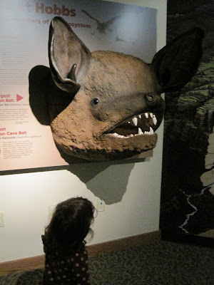
After our hike, we stopped by the visitor center that was down the road.

Map of Hobbs S.P. and part of Beaver Lake


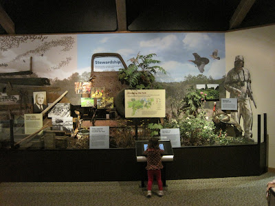
There are several exhibits showing the local history, biodiversity, and culture.

Examples of cave formations. Much or Arkansas and the surrounding states have limestone as the dominant bedrock. The limestone easily weathers away as ground water seeps through it creating elaborate cave systems.

I don't know what happened to this picture. Haley loved the deer though.

WOW!

Awesome exhibit. The computer allows you to look up every species of mammal, bird, reptile, etc that lives in and around Arkansas. It provides a photo and basic information about each animal. I was able to look up several of the birds that I've seen around our house using the photographs.

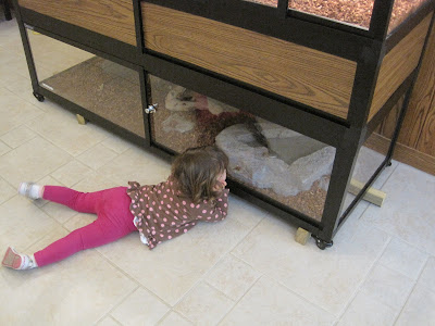
The hands-on exhibit (anglers)


 Look Dad!
 This tree was purposely bent at two right angles many, many years ago by Native American living in the area. They would often bend trees like this to mark trails, springs, caves, salt supplies, etc. This is one of only a few still around. They are known as "signal trees" or "thong" trees.
 The trail first follows the ridge top along old logging roads from the 1800's. Then is quickly travels down into the valleys and down to Beaver Lake.
 Haley getting a free ride for a little bit while she recharges her batteries.
 One of my favorite trees, Sassafras, are found all along the trail.
 Haley likes sassafras trees as well.
 Just thought is was an interesting shot.
 Trail, as it goes down to Beaver Lake. No longer following the old logging roads.
 Part of Beaver Lake. Plenty of areas for cliff jumping.
 Haley hiking again. She had enough of the backpack.

 Back to the backpack and taking a nap. She made it a respectable 1.5 miles on her own. Then I had to finish the next 2.5 miles worrying about her head bobbing around back there.
 After our hike, we stopped by the visitor center that was down the road.
 Map of Hobbs S.P. and part of Beaver Lake
 There are several exhibits showing the local history, biodiversity, and culture.
 Examples of cave formations. Much or Arkansas and the surrounding states have limestone as the dominant bedrock. The limestone easily weathers away as ground water seeps through it creating elaborate cave systems.
 I don't know what happened to this picture. Haley loved the deer though.


What a great dad & daughter day!
ReplyDeleteThank you!
Delete